
Mamaroneck Street Directory Walkthrough
A Mamaroneck address search starts with a public parcel, not a household roster. First identify whether the address belongs to the Town layer, the Village of Mamaroneck layer, or the Larchmont area. The Town includes the Village of Larchmont, an unincorporated area, and a portion of the Village of Mamaroneck west of the Mamaroneck River. That split affects the right assessor, permit file, and local office. Property and deed records can establish title-related names. Dated directories and census material can establish historical presence. The state voter tool only confirms a matching registration record under its rules.
- Enter the address in the Town tax or property system and record the displayed situs address, tax-map identifier, roll year, and owner relationship.
- Open the Westchester parcel layer, confirm the parcel polygon, and copy its SBL or PRINTKEY before moving from a street name to a record.
- Use that identifier and legal description with the County Clerk deed index. The current grantee can lead to the prior grantor and earlier title records.
- For a specific, lawful registration question, use the state voter lookup with the matching name, county, date of birth, and address. It does not offer a public browse list for an entire street.
- For an earlier household, ask the library or NYS Library for a reverse or criss-cross directory, then pair the result with census or newspaper evidence from the same period.
Keep the source date beside every result. One address can have a situs line, an owner mailing line, a legal description, and a postal format, each serving a different purpose.
Mamaroneck Tax Search by Street
The Town links its assessment-property information through PROS and maintains a separate BAS tax search. BAS is the practical starting point when a street number or owner name is known. It instructs users to enter one criterion only, so a broad road name should be narrowed one parcel at a time. The Town assessment-roll archive is a useful fallback when an interactive service is unavailable, with tentative and final roll links visible from 2013 through the 2026 tentative roll. Assessment data is property-centered, not a statement that a named owner was physically present at the address.
| BAS field | Input type | Observed use |
|---|---|---|
| Collection | Selector | Defaults to the current collection; the complete option list was not captured. |
| Tax Map # | Text | Section-block-lot format with dashes and no spaces, such as 9-999-99. |
| Property Address | Text | Searches the property or situs address. |
| Owner Name | Text | Accepts a whole or partial name; more text narrows a broad match. |
| Search | Submit | Use a single criterion for each query. |
The Town property-record-system page is the source for the PROS route. Its live client-side field set was not exposed during research, so no unverified PROS field labels belong in an address search.
The Town’s property-record-system page is shown here as the access point for the linked assessment service.
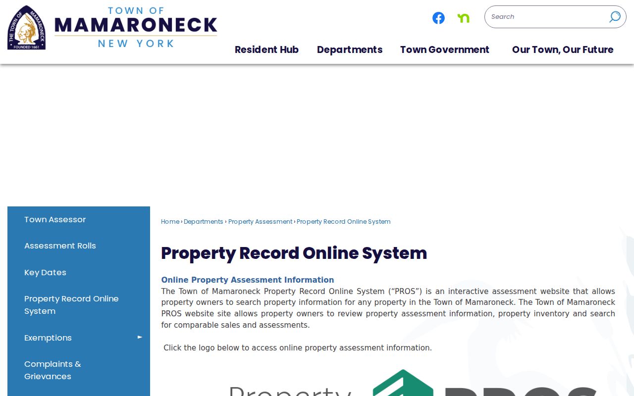
Use the property route to establish the parcel trail, then preserve the tax-map key for the GIS and deed steps that follow.
Note: A tentative or final roll is an annual snapshot, so capture its status and year before comparing it with a deed.
Mamaroneck Parcel Map by Street
Westchester County’s parcel service is the efficient way to walk a Mamaroneck road segment. Town parcel layer 377 supplies `SBL`, `PRINTKEY`, property address, property ZIP, owner name, owner mailing fields, class, school, municipal codes, and geometry. Layer 378 is the Village of Mamaroneck comparison layer. Where a road approaches the river or a village edge, check both rather than assuming the postal city determines jurisdiction. Click the polygons that actually touch the road, including corner and through parcels.
The County says parcel lines are approximate. They are excellent for orientation and identifying adjacent parcels, but the local tax map and recorded legal description control a boundary dispute. The parcel-service metadata inspected in research reported an April 2025 update, which is a service date, not a title or occupancy date.
The Town and Westchester interactive parcel viewer is the source shown in this image.
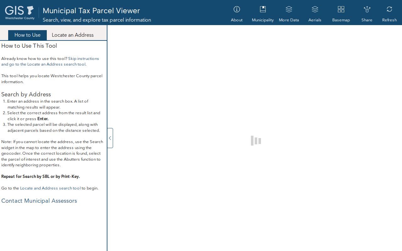
The viewer helps turn a visual street segment into parcel identifiers that can be checked in the tax and County Clerk systems.
Mamaroneck Street Address Records
Address-keyed sources answer different questions along the same road. The Town Assessor and Receiver of Taxes provide the tax parcel and annual assessment context. County GIS provides the geometry and identifiers. Westchester Records Online, known as WRO, provides a public entry point for land and legal records, while the County Clerk holds the official record. Building and Engineering material can place an application, inspection, or certificate at an address. The state voter lookup remains a narrow confirmation route, not an address-by-address listing.
| Address record | Local keeper | Address evidence | Access path |
|---|---|---|---|
| Assessment and tax map | Town Assessor and Receiver | Parcel, owner, value, class, and situs versus mailing distinction | BAS, PROS, and roll PDFs |
| Parcel GIS | Westchester County GIS | SBL, geometry, owner, situs, mailing, ZIP, and districts | Town layer 377; boundaries are approximate |
| Deed and legal record | Westchester County Clerk | Parties, date, legal description, prior conveyance, maps, and mortgages | WRO or Land Records office |
| Permit or certificate | Town Building and Engineering | Application, scope, inspection, approval, and certificate dates | OpenGov, file request, or FOIL |
| Registration record | NYS and Westchester BOE | A matching registration result under statutory limits | NYS voter lookup or an appropriate BOE route |
| Historic address source | Library and archival collections | Earlier address and household clue | Reverse directory, telephone book, census, or newspaper |
For a whole road, start in GIS, collect the qualifying SBL values, and search the tax portal one address or owner at a time. BAS has no ZIP field and no visible ZIP-wide browse. The chain stays more reliable when each result is labeled as title, tax, map, permit, registration, or historical evidence.
Mamaroneck Street Directory Deeds
Street numbers are not enough for a dependable deed search. Start with the current owner and SBL or legal description, then use WRO to search the current owner as grantee. Record the instrument type, recording date, document or control number, legal description, prior reference, and image availability. Search the seller, or grantor, as a grantee to move backward. Subdivision maps and adjacent legal descriptions help distinguish a rear lot, easement, condominium unit, or parcel split along a street.
WRO advertises a free public index reaching back to the 18th century, but the exact Mamaroneck online cutoff and live grantor-grantee labels were not confirmed. Registration may be needed for some results, and images or reports have an account and payment layer. When the image is unavailable, keep the index identifiers and request an official or certified copy from the Westchester County Clerk Land Records Division.
- Parcel
- A defined piece of real property shown for tax and map purposes, normally tied to an SBL or PRINTKEY.
- Situs address
- The location address of the parcel, which may differ from the owner mailing address.
- Plat or map reference
- A recorded subdivision or survey reference that can identify land when a house number is absent or changed.
- Criss-cross directory
- An address-first directory format that can connect an older street number to a printed household entry.
Note: A return-to address or owner mailing address may identify a representative, lender, or entity contact, not a person at the parcel.
Mamaroneck Street Permit Trail
Town Building and Code Enforcement files add dates that deeds do not provide. The Town uses OpenGov and Viewpoint Cloud for applications, and a first user creates an account. Building materials can include applications, design professionals, permit numbers, work scope, status, inspections, and certificate of occupancy or letter of completion dates when releasable. Engineering uses the same application pattern for surface-water, erosion-control, and highway permits. Those files show administrative activity at an address, not a declaration that each listed person lived there.
The Town reported active Laserfiche scanning for building and land-use files. Its 2026 budget described 26,405 newly added Laserfiche files, including 2024 Building grant files, and LGRMIF support for Building and Engineering records. When an older address file is not visible online, send a narrow Town FOIL request for an existing permit, inspection, or certificate by address, record type, and date range. FOIL does not require the Town to create a new street-wide compilation.
Mamaroneck Street Boundary Check
An address search needs a municipal check before an office check. The Town footprint includes the whole Village of Larchmont, the unincorporated Town, and the portion of the Village of Mamaroneck west of the Mamaroneck River, while the villages remain self-governing subdivisions. A 10538 or 10543 postal line does not settle that question. Use the County municipal boundary layer with the parcel layer, then ask the office that serves the mapped jurisdiction.
Use USPS to confirm the delivery form of a complete address, but do not treat the returned postal city as a legal boundary. The County parcel layer separates `PROPZIP` from `OWNERZIP`; an owner mailing ZIP can be outside the local area. Historic records can use Town, Village, Larchmont, or Mamaroneck headings for overlapping places. Search each relevant label and retain the jurisdiction printed by the period source.
Mamaroneck Street Owner-Field Myth
Myth: an owner field identifies every person at a property. It does not. County GIS deliberately keeps `OWNERADDRESS` and `PROPADDRESS` as separate fields, and the assessment roll is an annual property instrument. A recorded deed shows a transfer of title. A permit can name an applicant or design professional. A voter match is limited to registration information and protected records are intentionally withheld. Reading those labels literally is the useful safeguard against turning a street search into an unsupported household claim.
Use at least two independent, date-compatible anchors before connecting records, such as a dated directory entry with a census household, or a parcel identifier with the deed that carries the same legal description. That method also handles same-name results and entity-owned property more carefully.
Note: A failed public search can reflect a spelling variant, wrong jurisdiction, protected record, sealed file, or unindexed source rather than absence.
Mamaroneck Street History Clues
For an earlier address, ask Mamaroneck Public Library, the Mamaroneck Historical Society, or the New York State Library for reverse directories, criss-cross volumes, telephone books, and local records on microfilm. NYG&B identifies Town records and Village records for Mamaroneck and Larchmont through 1993 on NYS Library microfilm. The Library of Congress catalogs the Mamaroneck Daily Times from 1925 to 1998, which can add an obituary, civic notice, or address-change clue. The historical collections themselves are described in the Mamaroneck city directory collections.
The Historical Society’s street-name work, old maps, and local-history materials can help with a changed spelling or village heading. The Library of Congress also has a six-sheet November 1896 Sanborn map of Mamaroneck. It is a fixed-date picture of building use and street geometry, not a title record. Compare it with the deed legal description and later aerials before deciding that two address forms refer to the same parcel.
Mamaroneck Street Directory Limits
No official Mamaroneck system publishes a complete current list of all people along a road. The state voter lookup has an address input but no public browse-by-street output, and Election Law limits access to identifying numbers and protected records. The Address Confidentiality Program substitutes a mailing address for qualifying participants, and protected voter records are intentionally separate from ordinary inspection. DMV information is restricted by federal law. Utility connections are not a public people directory.
For a narrow record that is not online, use the custodian’s route: Town Assessor or roll archive for tax information, Town Building or Engineering for permit files, County Clerk Land Records for title instruments, Westchester or NYS BOE for registration requests, and the library or archives for historical material. Describe the relationship shown by the record, do not fill in gaps from inference.
Lawful use. Mamaroneck address records support personal, civic, and family-history research. Never use them to stalk, harass, intimidate, or harm another person, and never try to defeat an address-confidentiality or protected-voter safeguard.