
Mamaroneck ZIP Code Coverage
Town planning material identifies two working postal ZIP codes for the Town of Mamaroneck context: 10538 and 10543. They are useful filters, not municipal boundaries. The Town includes the Village of Larchmont, an unincorporated area, and the part of the Village of Mamaroneck west of the Mamaroneck River. That footprint makes a postal city line a poor substitute for checking the parcel and the government that holds a record. Use a ZIP to begin an address search, then confirm the jurisdiction before requesting a tax, permit, or vital record.
| ZIP Code | Areas Covered | Post Office | Notes |
|---|---|---|---|
| 10538 | Larchmont and the Town's Larchmont-facing area | Larchmont postal city context | Includes Village of Larchmont context, but its delivery area is not a legal village line. |
| 10543 | Mamaroneck postal area, including unincorporated Town and Village contexts | Mamaroneck postal city context | Does not identify whether an address is in the Town or Village of Mamaroneck. |
The Town's Title VI plan supplies this two-ZIP working set. It does not create a Town-only count or a postal boundary table. The safest method is address-level confirmation, followed by the County municipal layer or the applicable parcel layer. Note: Postal labels can remain the same even when a river, village line, or parcel edge changes the public office that has the record.
Mamaroneck ZIP Code Boundary Quirk
10538 often points toward Larchmont, while 10543 often points toward Mamaroneck. Neither label resolves the Town and Village distinction. A Mamaroneck postal address may fall in the Village of Mamaroneck or an unincorporated Town area, and a Larchmont postal address is not automatically outside the Town. The Mamaroneck River is a practical clue, but the parcel's municipal code and boundary layer decide which local office is relevant.
The Westchester County boundary service includes ZIP and municipal layers for that comparison. Its value is visual orientation. It is not a USPS delivery assignment or a deed survey. For a record request, preserve the address as entered, the postal ZIP, the municipal jurisdiction, and the parcel identifier separately.
Verify a Mamaroneck ZIP Code
Use the USPS ZIP Code Lookup with the complete delivery address. Compare the returned city, state, and ZIP with the parcel's property ZIP and with the Town plan. County GIS stores property and owner ZIP fields separately. The owner field can point outside 10538 or 10543 because it is a mailing contact, not a statement of where that person lives.
The screenshot below shows the address-level route. It is more reliable than assigning a ZIP from a neighborhood name or an old directory heading.
USPS provides the address-level ZIP verification form used for this Mamaroneck ZIP code directory.
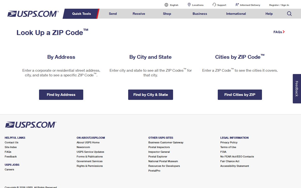
Use the returned delivery result as a postal check, then confirm the legal municipality in the county layer before choosing a custodian.
- ZIP code
- A postal delivery area, not a municipal government boundary.
- ZIP+4
- An added four-digit delivery segment that refines a ZIP code for mail handling.
- PO-box ZIP
- A ZIP used for post-office-box delivery rather than a claim about a parcel's location.
- Carrier route
- A mail-delivery grouping; it does not identify a legal parcel or a resident roster.
Mamaroneck ZIP Code Parcel Fields
The Town parcel layer exposes `PROPZIP` for the property and `OWNERZIP` for the owner mailing address, alongside the situs address, owner name, SBL, print key, property class, and municipal codes. Layer 378 is the Village of Mamaroneck comparison layer. Use the layer matching the parcel's government, especially near the river and village border.
| Field | What it identifies | Limit |
|---|---|---|
| PROPZIP | Postal ZIP attached to the property address | Delivery context, not a survey boundary |
| OWNERZIP | ZIP for assessment mailing contact | May be outside the Town entirely |
| SBL / PRINTKEY | Parcel identifier used across local property records | Use the exact displayed value in a request |
| Municipal code | Government context for the parcel | Check it before selecting a Town or Village office |
County parcel boundaries are approximate. The local assessor's tax map and a recorded legal description control a boundary dispute. Note: A matching owner mailing ZIP is an administrative clue, not proof of present occupancy.
Finding Mamaroneck Residents by ZIP
A ZIP code narrows some state searches but does not unlock a Town-wide household list. Start with an exact address when possible. The Town BAS tax portal has no ZIP field, and its form asks users to enter one criterion only. The state voter lookup asks for county and address rather than offering a ZIP-only browse. The official methods below keep each source in its proper role.
- Confirm the delivery ZIP with USPS and note the Town, Village, or unincorporated jurisdiction.
- Use County GIS `PROPZIP` and the municipal layer to identify matching parcels, then save the SBL or print key.
- Search the Town BAS tax portal by one property address, owner name, or tax-map number, not by ZIP.
- For a specific registration question, use the NYS voter lookup with the available county and address information, respecting protected records.
New York's Department of State license search and the Office of the State Comptroller's unclaimed-funds search both accept a ZIP as a narrowing field, but they answer license or claim questions rather than listing neighborhood residents. When the ZIP leads to a particular road, the Mamaroneck street directory has the address-by-address parcel workflow.
Mamaroneck ZIP Code Search Fields
ZIP-capable state forms should be read as filters, not identity proof. The Department of State license form supports partial first and last name, license type, county, city, and ZIP. The unclaimed-funds form starts with a last or business name and can narrow by first name, city, ZIP, or property ID. A ZIP match needs a second independent anchor such as a full name, a known address, or a recorded affiliation.
| Portal | ZIP-capable field | Other observed fields | What it can confirm |
|---|---|---|---|
| NYS DOS Licensee Search | ZIP Code | Last/first name, license type, county, city | A state license result, subject to category limits |
| NYS unclaimed funds | ZIP | Last/business name, first name, city, property ID | A possible claim lead, not an amount or residency finding |
| DCJS registry | ZIP | Last name or county, custody filters | Only the registry's public Level 2/3 scope |
Historical Mamaroneck ZIP Code Limits
Older addresses should not be forced into a modern ZIP code. City directories, the Mamaroneck Daily Times, census schedules, and the November 1896 Sanborn map use the street and municipality of their time. The Library of Congress telephone-directory scan uses Mamaroneck and Larchmont headings, which can locate a historical entry but do not prove a present delivery ZIP.
For a past household, record the old street spelling, village or Town label, house number, and source year. Then compare a historic map or directory with the current parcel's legal description and SBL. The research did not locate an authoritative Town-wide street-number crosswalk or ZIP realignment history, so a historical address should remain marked as unknown rather than assigned a modern ZIP by guesswork.
Mamaroneck ZIP Code Jurisdictions
Postal city and legal jurisdiction answer different questions. A 10543 address can be Village of Mamaroneck or unincorporated Town context. A 10538 line can place a delivery in the Larchmont-facing part of the Town without deciding whether a Village office or a Town office keeps a particular file. Birth and death custody follows the event location; building files can be Town or Village records; tax records follow the parcel's government.
For a mismatch, begin with the parcel and municipal layer, not the envelope. Ask the custodian for an existing record by address, date range, and record type. The Town's FOIL route can seek an existing Town file, but it does not require the agency to create a new ZIP-wide resident compilation. Note: Keep situs ZIP, owner-mailing ZIP, postal city, municipality, and source date in separate fields when comparing records.